It is one of mankind’s largest undertakings: the South-North Water Transfer project.
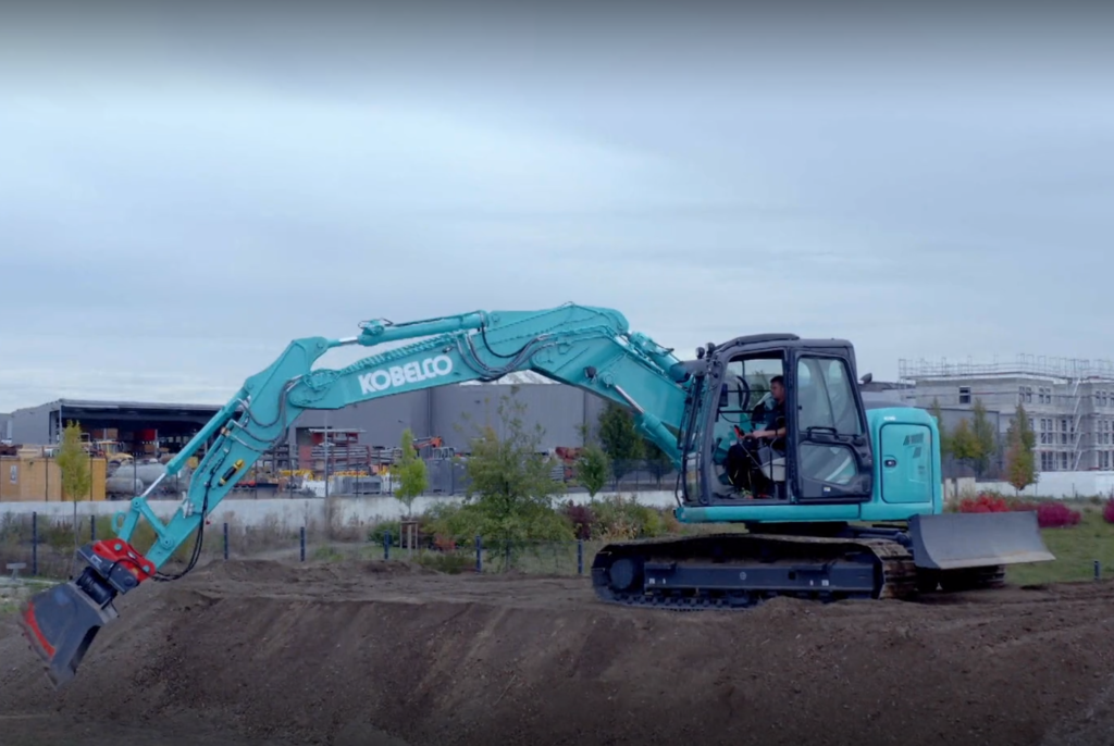
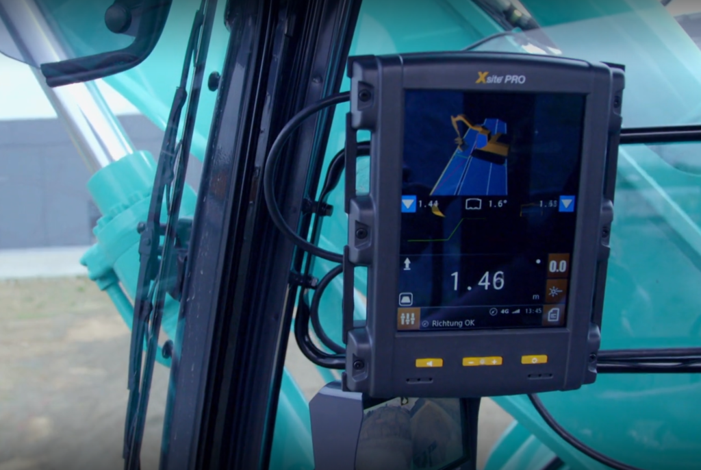
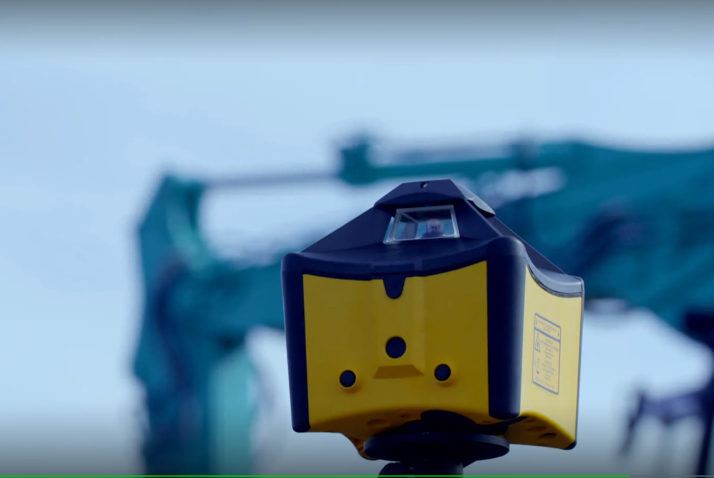
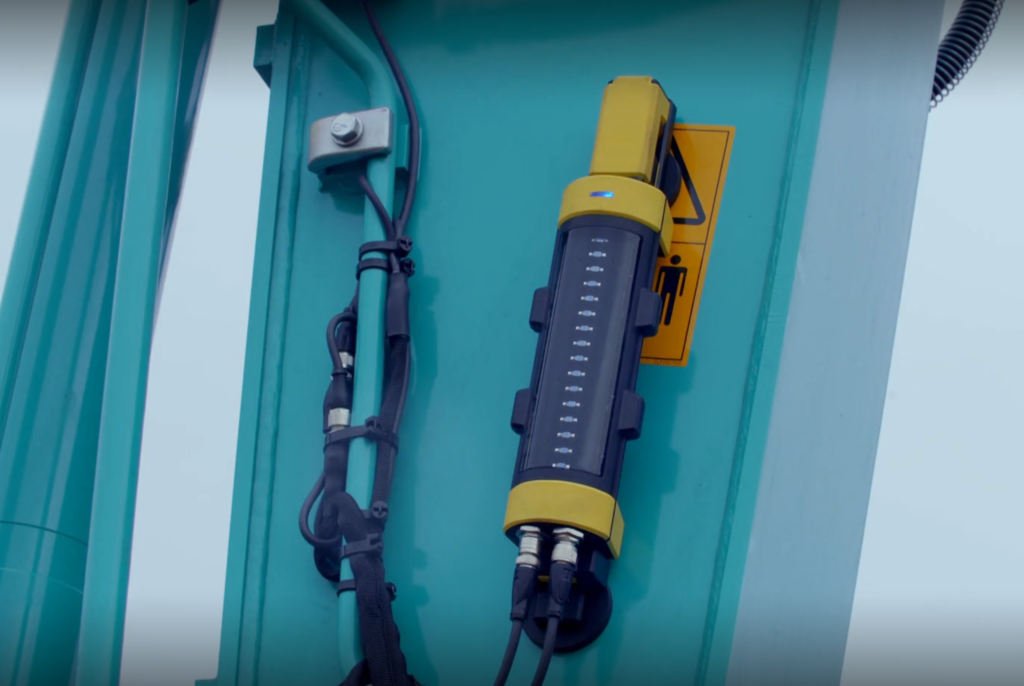
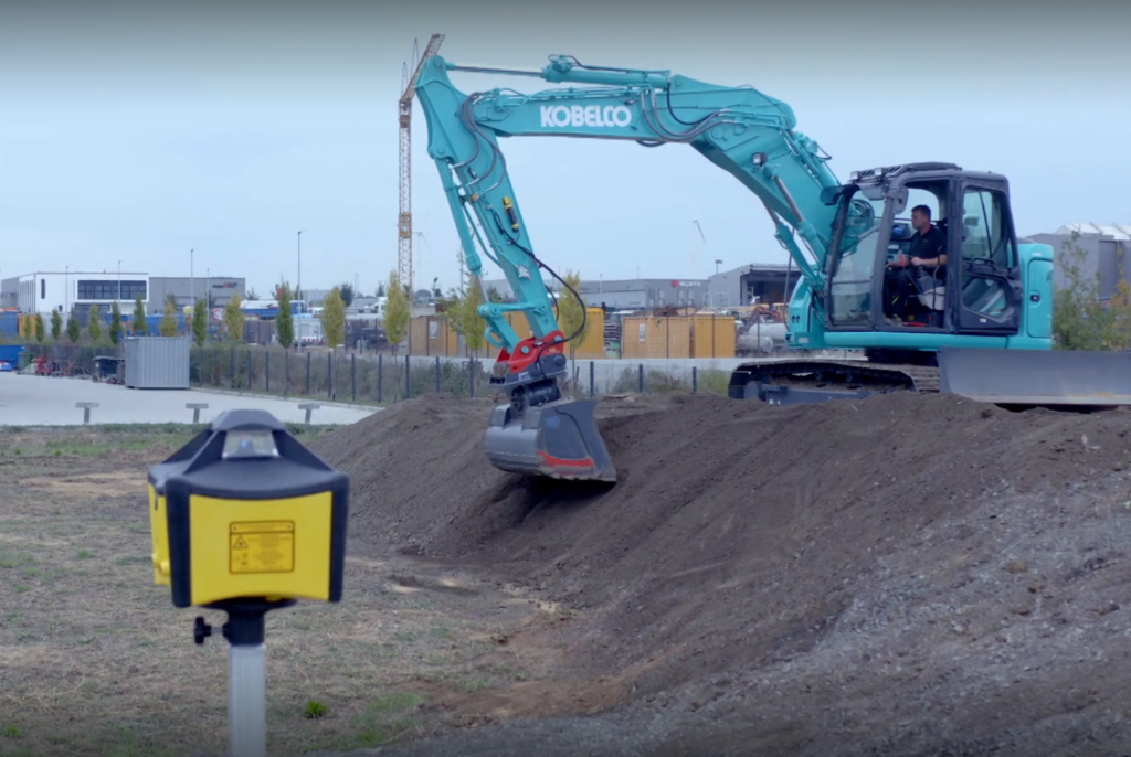
What’s so special about it? For one thing, the Chinese are copying a two-thousand-year-old technique: aqueducts designed by Roman engineers. Today, of course, modern GNNS and laser-equipped excavators ensure the right gradient.
Another extraordinary fact that few people in the world think about: How is it possible to ensure that the water falls for thousands of km without pumps?
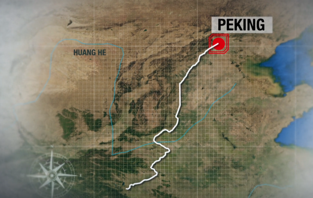
The South-North Water Transfer Project, also known as the South-to-North Water Diversion Project, is a multi-decade infrastructure megaproject in China that ultimately aims to move
44.8 billion cubic kilometres of fresh water
per year from the Yangtze River in southern China to the more arid and industrialised north through three canal systems:
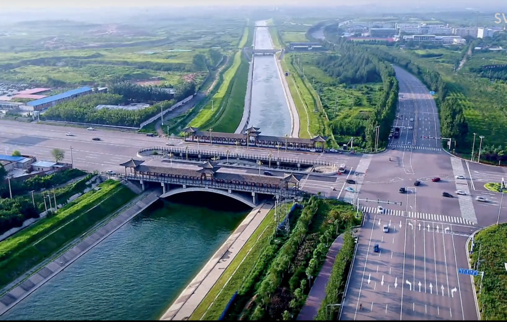
- The Eastern Route through the course of the Grand Canal; (1152 km)
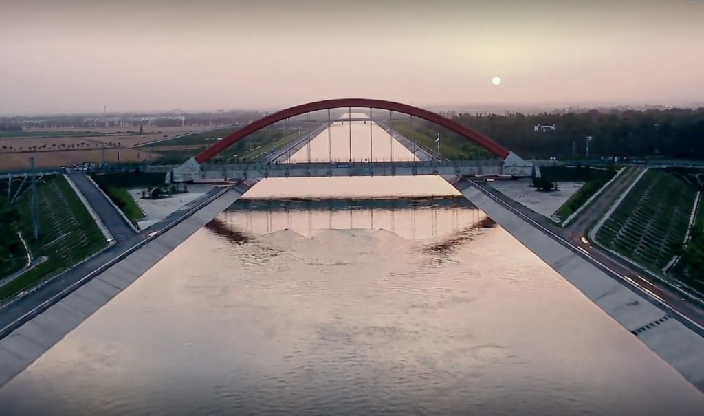
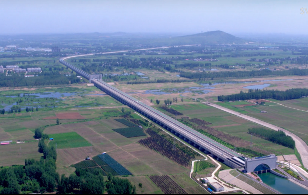
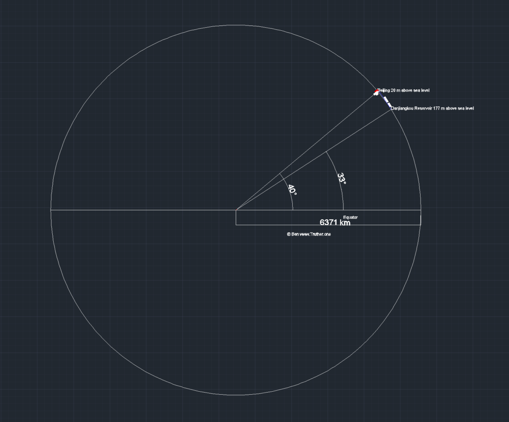
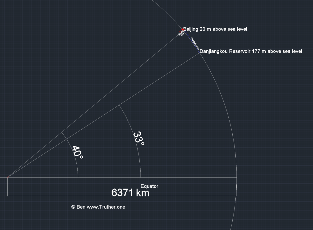
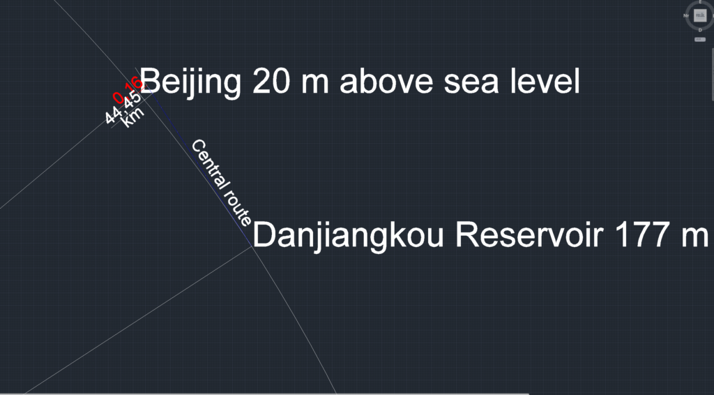
- The Central Route from the headwaters of the Han River (a Yangtze tributary) via the Grand Aqueduct to Beijing and Tianjin; (1264km) no pumps.
- The western route from three tributaries of the Yangtze River near the Bayankala Mountain to provinces such as Qinghai, Gansu, Shaanxi, Shanxi, Inner Mongolia and Ningxia.
Here are some facts:
- Beijing lacks drinking water for 21 million people.Their water consumption is about 100 m³ per person per year.
- Southern China: Rainfall is abundant. Can you move water from South to North?
- 4350km on completion, more than the distance between NY and LA. It will take up to fifty years to complete. It will carry 45 trillion litres of water after each year.
- There are no pumps on the eastern route (1152 km).
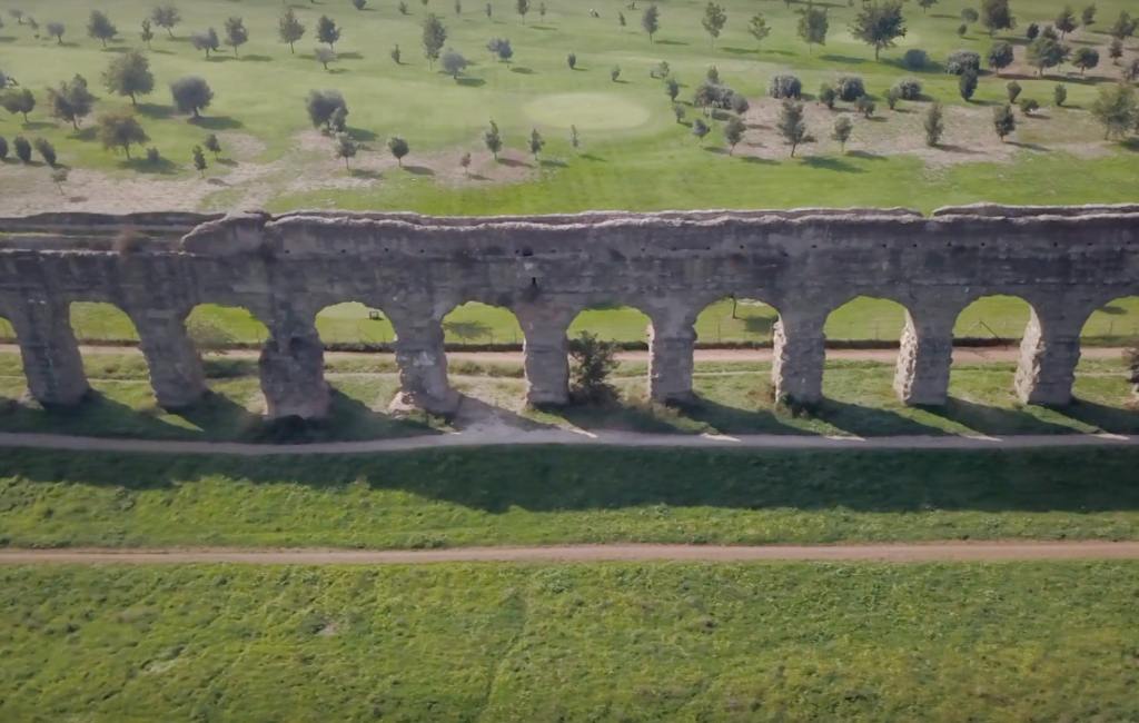
The Romans built the first aqueducts 2000 years ago.

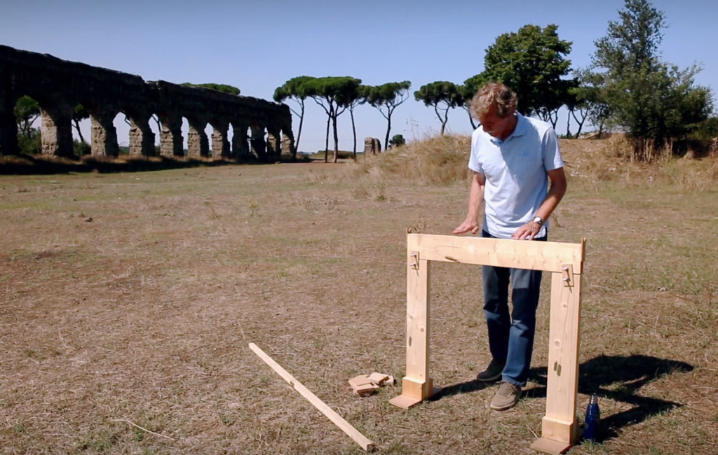
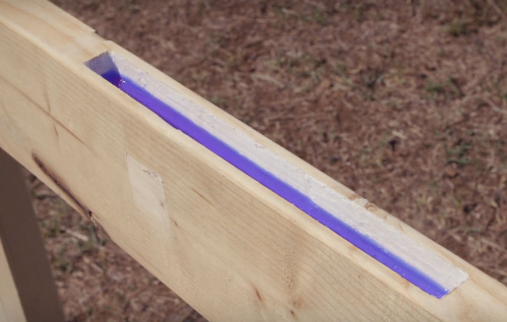
- The leading engineer was Vitruvius. His recommendation was a slope of 0.02%. That means 100m forward, 2 cm down.
- What they achieved can still be seen:
- The Roman aqueducts. They were up to 91 km long and 33 metres high. The water came down from the mountains and flowed in the direction of the city.
- 1 billion litres of water per day reached Rome. That is the same as NYC today.
Ancient water level gauge
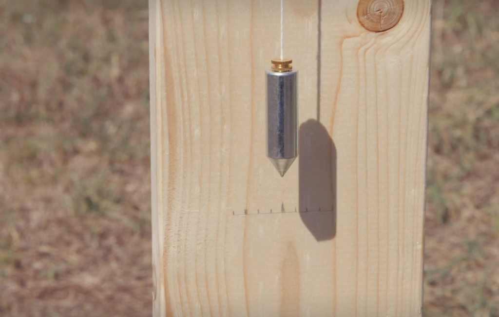
Nowadays they use laser and GNSS devices to achieve the same thing
Beijing (39.9075° N 116.3972° E) is situated on low and flat land. The elevation is generally between 20-60 metres above sea level.
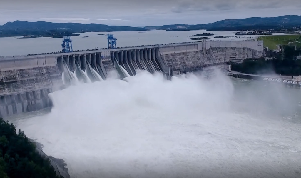
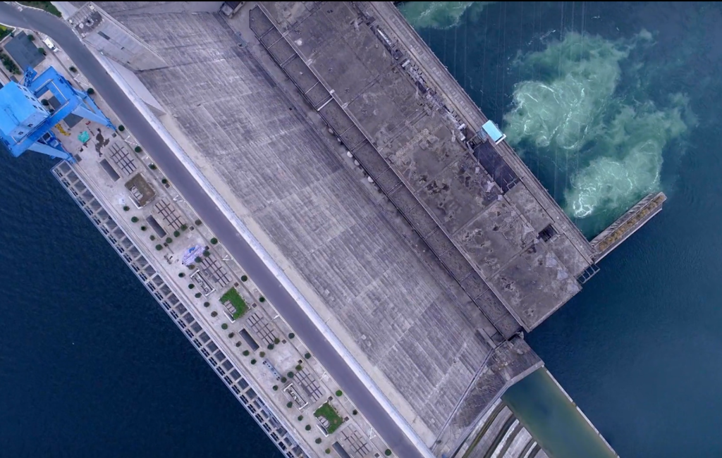
Danjiangkou Reservoir, Henan, China (32°36′-33°48′ N, 110°59′-111°49′ E)
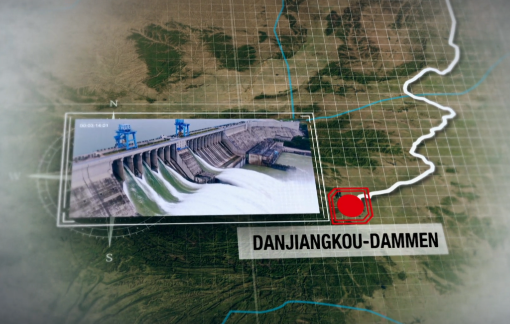
- They raised the Danjiangkou Dam by increasing the crest elevation from 162 m to 176.6 m above sea level.
- Beijing is about 20 metres above sea level, which means that the city is 156 metres below the Danjiangkou Dam.
- 176.6m – 20m = 156 metres drop.
Conclusion?
The earth is flat, mate.
It is impossible for water to flow uphill on a sphere of earth. If you don’t believe me, I can provide an AutoCad drawing with a circle r=6378 km and a 1152 km almost straight line of the REAL AQUEDUCT 0.02% slope.


The curvature at 1152 km
would be 104 km,
according to Earthcurvature.com.
Do you know the difference between 104 000 metres and
156 metres?
“The heavens declare the glory of God; and the firmament sheweth his handywork.”
Psalm 19:1
Take care!
Ben
01/28 2024.